Industry News
News
B.C. invests $38M in new LiDAR program
Minister of Forests made the announcement at the COFI 2023 convention in Prince George
April 14, 2023 By Jennifer Ellson
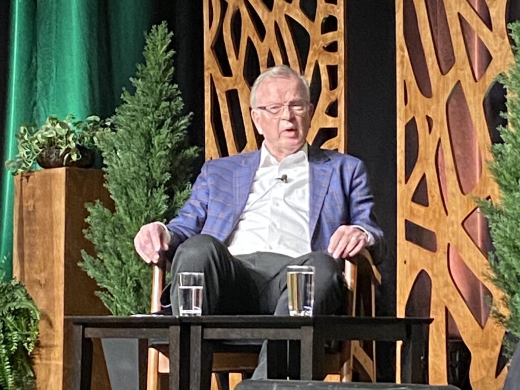 B.C. Minister of Forests Bruce Ralston. Photo: Annex Business Media.
 British Columbia is investing more than $38 million in a new program over the next six years to collect light distance and ranging (LiDAR) elevation data.
The announcement was made by Minister of Forests Bruce Ralston at the BC Council of Forest Industries (COFI) convention at the Prince George Civic Centre on Thurs., April 13.
“Our forests have given us so much, and we are doing everything we can to ensure that we all work with the latest tools and information to strengthen forest management practices to better conserve old growth and ecosystem health,” Ralston said.
“The challenge of managing forest ecosystems has never been greater and free access to detailed aerial mapping province-wide ensures we all work to the highest levels of accountability as we respond to both the opportunities and challenges of climate change.”
He added that B.C. communities can look forward to high-quality data to support effective and informed decision-making on the planning and management of wildfires, landslides, floods and other natural events, Ralston said.
LiDAR is a modern survey method that uses aerial remote sensing technology to map the Earth’s surface. It delivers highly detailed and accurate three-dimensional mappings of landscapes. Unlike B.C.’s current digital models of landscapes that are based on aerial imagery taken 30 years ago, LiDAR-based mapping includes detailed representations of forests, bodies of water, and buildings, as well as other infrastructure.
LiDAR data is collected from aircraft using sensors that detect the reflections of lasers. It provides accurate 3D information for various mapping products, including digital elevation models, forest inventory analysis, floodplain analysis, infrastructure analysis, transportation analysis and many other applications.
“Investing in better data means investing in better decisions for climate resiliency,” said Nathan Cullen, Minister of Water, Land and Resource Stewardship. “Generating this invaluable data and making it freely available will keep people safe, and ensure communities are protected, productive and economically competitive.”
B.C. currently makes a large collection of LiDAR data free and equally accessible to everyone in B.C. Gathering more LiDAR data will create better certainty for First Nations, local governments, communities, decision-makers, land-use planners and other stakeholders when planning for the impacts of climate change.
LiDAR data is openly and freely available to the public for 11 per cent of B.C.’s landscape, and Cullen told delegates that the goal is to make to 100 per cent in six years.
High-resolution mapping derived from LiDAR will provide information that is critical to a number of fields, including natural-resource management disciplines like forestry, wildfire and fuels, surface hydrology, agriculture, ecology, wildlife, habitat management and restoration, geology and geomorphology.
LiDAR information will also support meaningful reconciliation with Indigenous Peoples as shared decision-making in resource management relies on evidence-based decisions using the best available data.
Learn more about LiDAR, or to discover and download LiDAR data as it becomes available, visit: governmentofbc.maps.arcgis.com/apps/MapSeries/index.html?appid=d06b37979b0c4709b7fcf2a1ed458e03
Print this page