Features
Forestry Management
Harvesting
Drones opportunities and challenges in forestry
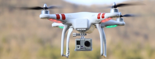
October 29, 2015 -Drone technology is quickly finding its way into a variety of commercial applications and the forestry sector can also take advantage of this new remote sensing platform.
Imagery from aircraft and satellite has been used for decades to generate forest inventory and build annual and long-term forest management plans. However, efficient tools and methods for more frequent revisits, but on a smaller scale, could be very useful for improving decision making of more dynamic and evolving events; which is often the case in active harvesting areas.
Due to limited infrastructure requirements of modern photogrammetric techniques and ease of acquiring images in remote, small and scattered areas, close-range photography on a drone platform has the potential to be used for:
• Live video streaming for visual inspection;
• Orthomosaics for treatment monitoring and analysis;
• 3D point clouds for surface reconstruction;
• Tree identification and volumetric estimation;
• Infrared images for hot spot detection;
• Multispectral images for identification of tree species and tree health;
• and the list goes on…
FPInnovations' work aims at testing the feasibility and strength of this new technology in various forestry applications. They also plan to focus on image analysis automation to facilitate and lower the cost of the applications.
This webinar will cover early results, implementation challenges and strategies for introducing promising applications.
And all of this for only $25!
To register, click here.
Date: November 25, 2015
Time: 2:00 p.m., EST
November 11, 2015 By Andrew Snook
Print this page